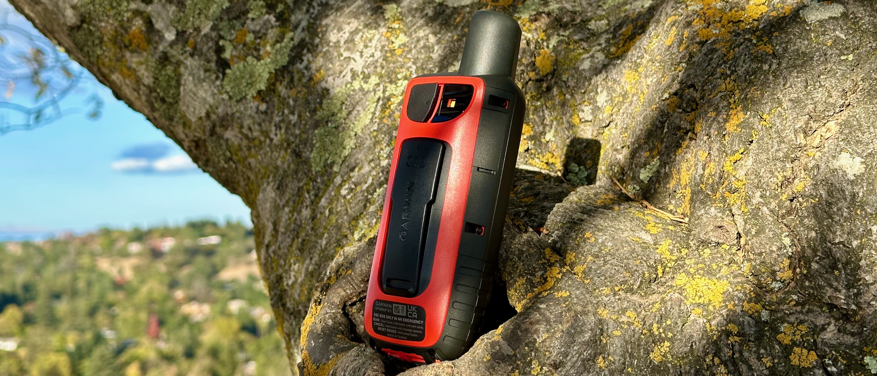
Android Central Verdict
The Garmin GPSMAP 67i is tailor-made for serious hikers and adventurers who go off the beaten path where cellular service is spotty. Its Iridium satellite connectivity ensures you can share a real-time map of your location and message family so they have peace of mind, or send an SOS signal and have emergency services know exactly where you are. The device is rugged, has a long-lasting battery, and is packed full of map information so you won't lose you way. Too bad mastering the controls is incredibly obtuse, and a lot of these services will cost you extra.
Pros
- +
Epic 840-hour battery life
- +
Satellite MapShare, messaging, and SOS
- +
Military-grade shock protection + IPX7
- +
Dual-band GPS tracking
- +
In-depth mapping and waypoints will keep you oriented
Cons
- -
Device, InReach subscription, and maps are expensive
- -
Controls aren't always intuitive
- -
Scrolling through maps can be slow
Why you can trust Android Central
Handheld GPSs like the Garmin GPSMAP 67i are the definition of niche. I sent a photo to my colleagues holding it on a hike, and they asked what it was. My partner picked it up thinking it was a walkie-talkie. Compared to Garmin watches that are relatively well known, most people wouldn't know what this device is for, or even think to look for one.
Generally speaking, the GPSMAP 67i serves a similar function to a GPS smartwatch, only with a stronger satellite connection, longer battery life, and a larger map to give hikers clear guidance on where they're headed and what's nearby. But it also has one vital upgrade: connectivity to the global Iridium satellite network for messaging, transmitting your location to family in real-time, and SOS calls in the remotest of areas.
If you can afford the high price and costly InReach subscription for satellite functionality, the GPSMAP 67i could literally save your life.
Otherwise, it's built for serious adventurers who spend days in the wilderness, at a time when smartwatches are adding dual-band GPS and solar recharging to catch up.
For everyday hikers, you'll want to print out the GPSMAP 67i manual and pack it with your hiking gear, just in case you forget how to use one of its dozens of tricks — or, more importantly, which button does what.
How the GPSMAP 67i works

Straight out of the box, the Garmin GPSMAP 67i has straightforward functionality. Turn it on, and it will track your location and elevation automatically; it was actually a bit perturbing to realize it had "tracked" me for days when sitting on my desk, because its Expedition starts whenever the device is on.
The GPSMAP 67i should come with a topographical map of your region, country, or continent installed by default. If you begin hiking, you can pull up the map and zoom in to see which trail you're on and any forks coming up next. You can also search for nearby places of interest, select them as your target destination, and follow along the route on the fairly small display.
If you have an InReach subscription, you can start tracking and sharing your position via satellite, choose a moving interval between two minutes and four hours of how often it checks on your location, and then create a MapShare page where friends and family can track your progress and see where you are at every interval. That way, if you unexpectedly stop and don't manage to send an SOS, they know exactly where to send help.
If you are able, you can send an SOS signal by tugging off the bright orange "SOS" cover on the side, and then pressing and holding the button until the signal is sent. Garmin works with a 24/7 emergency response center that will send local rescue services to your location.
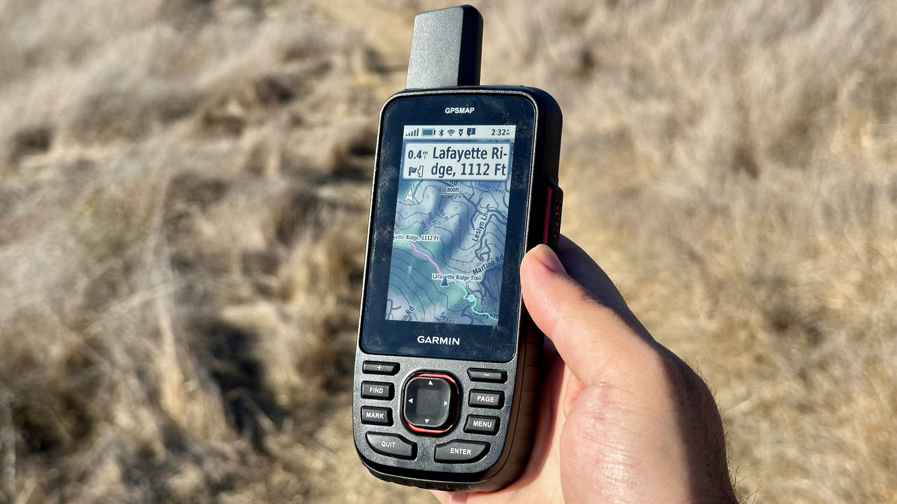
One somewhat frustrating aspect of using the GPSMAP 67i is that it pairs with four separate mobile apps: the traditional Garmin Connect app for Bluetooth setup, Garmin Explore to create Routes and Courses, Garmin Messenger to set up satellite messaging to send check-ins to family via the 67i, and the Connect IQ app to install custom data fields and widgets.
You can technically fulfill some of these functions on the device itself, but since it's somewhat slow and has no touchscreen, it can prove more frustrating than anything else. For instance, trying to create a custom route involves selecting from nearby landmarks or just dragging a cursor slowly across a map that usually can't keep up. As for messaging, you can send a quick text check-in or location update, or create a custom message by selecting letters one by one with the arrow keys — it'll remind you of your dumb phone days.
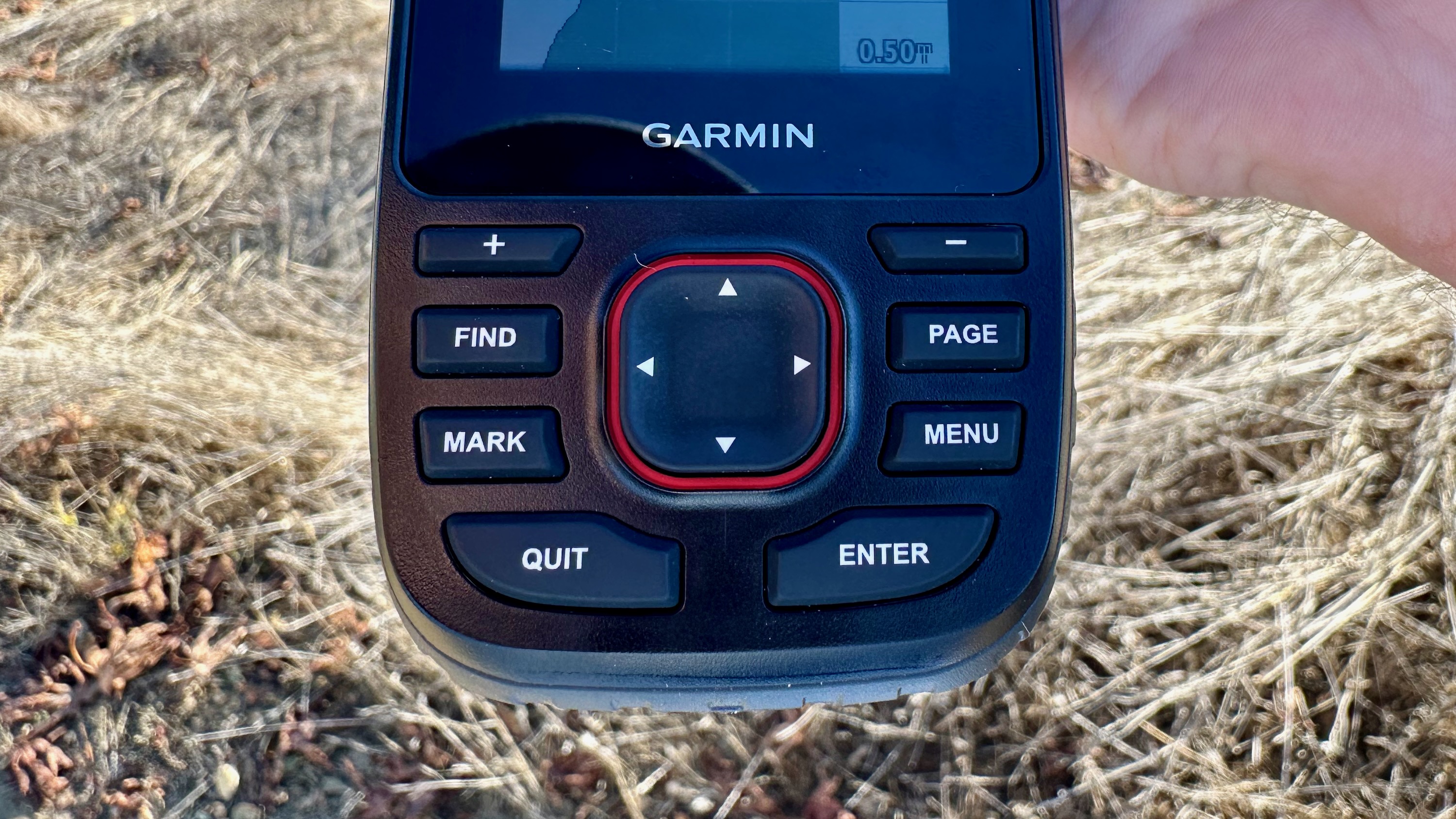
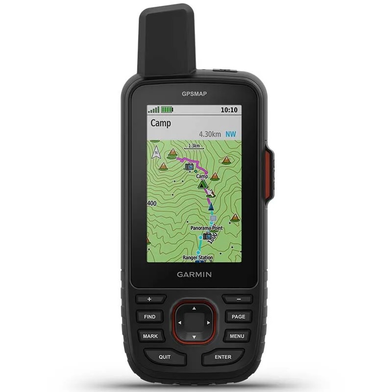
My first few days using the device can be summed up with the Ryan Reynolds "But why?" meme. Here's how the controls work:
- The +/- buttons zoom in and out in map view
- The arrow buttons navigate through the Main Menu or move the map cursor
- The Find button pulls up different Waypoint categories and selects a destination
- The Page button opens up and scrolls right through the Quick menu
- The Mark button saves a waypoint of wherever you are on your map so you can find it later
- The Menu button pulls up a settings submenu for each feature with one click or the main menu with two clicks
- The Quit button is basically a Back button, but also scrolls left through the quick menu
- The Enter button selects options
- The power button hides key options like adjusting the backlight or turning on the flashlight.
It takes quite a while playing with the GPSMAP 67i before you unlearn habits that would be intuitive on other devices, but not here. For example, having to scroll left and right using the Page and Quit buttons (which aren't level with each other), while trying to scroll with the arrows immediately exits the menu or selects options you didn't mean to.
I eventually figured it out — my "I'm not smart enough" headline is mostly hyperbole — but it's still something that takes days (or weeks) of active use before it becomes intuitive and you start to memorize where every function is hidden through the menus and submenus. You simply have to decide if it's worth the effort.
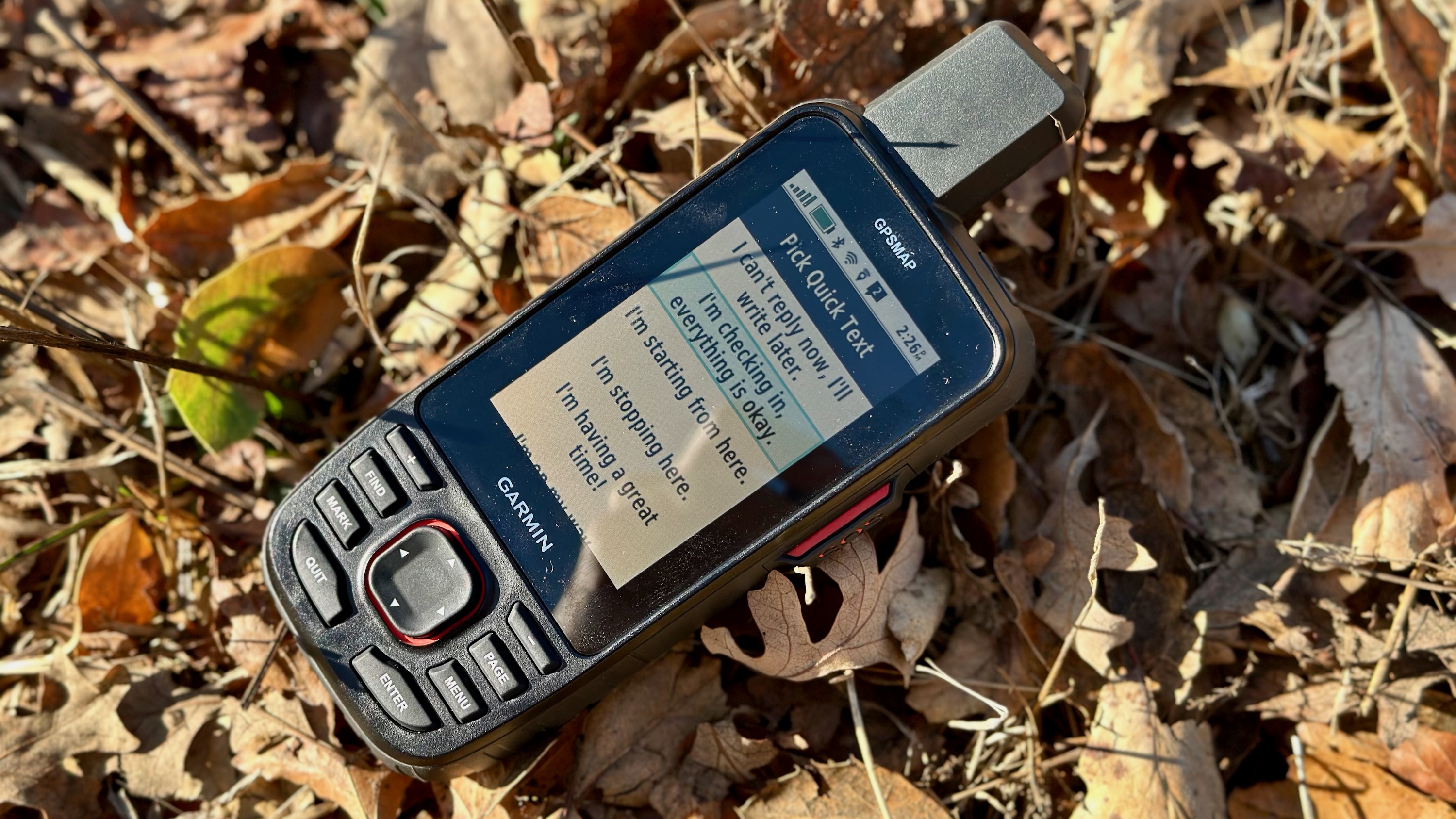
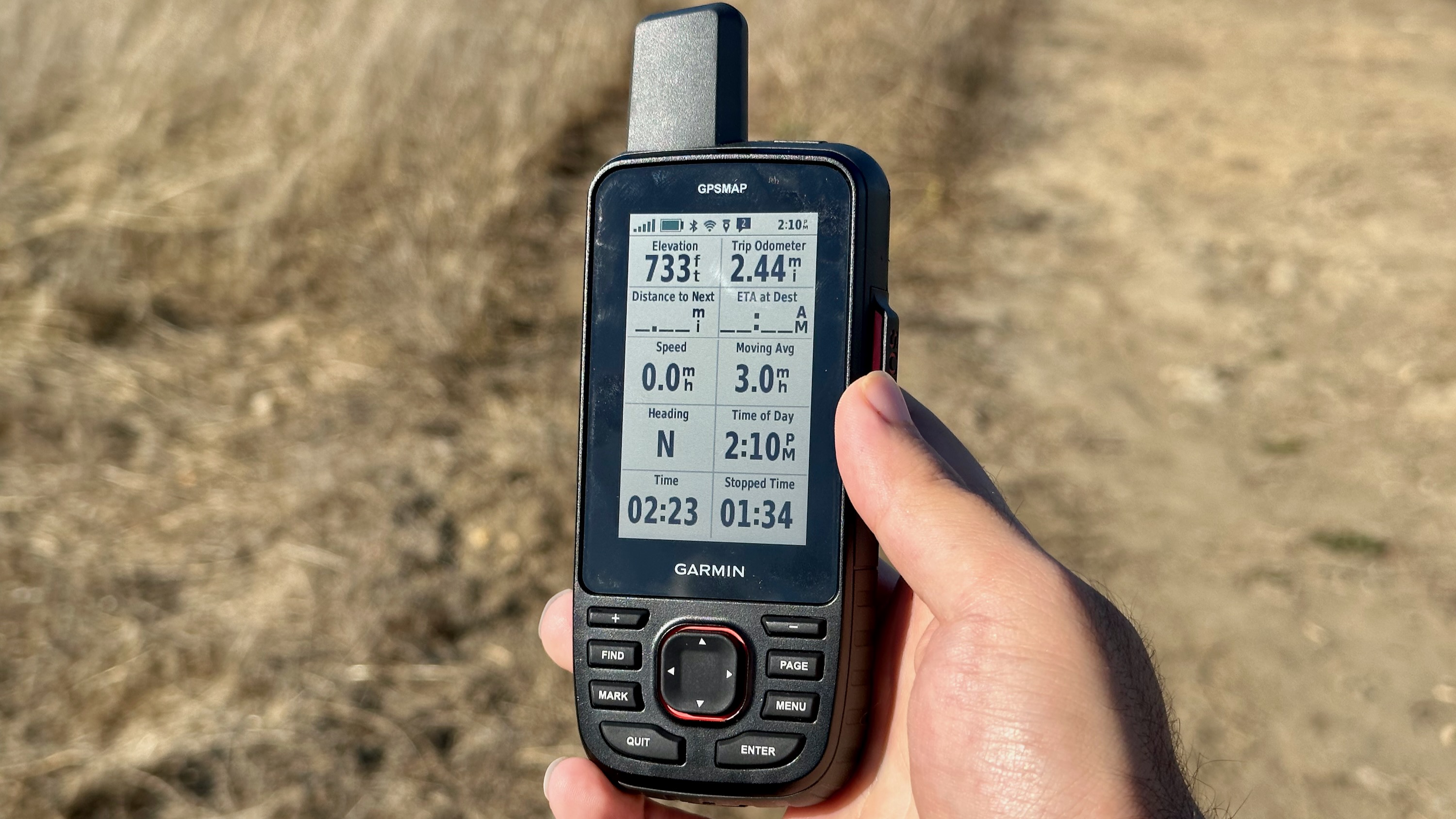
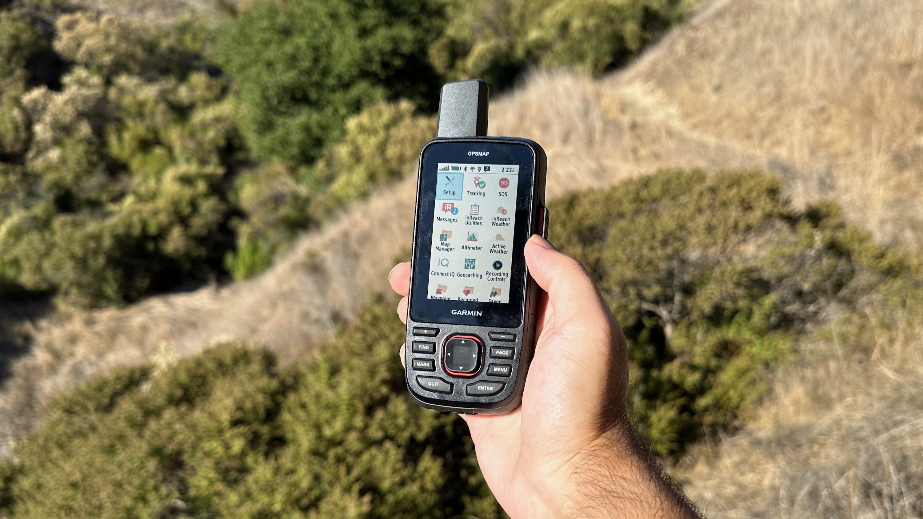
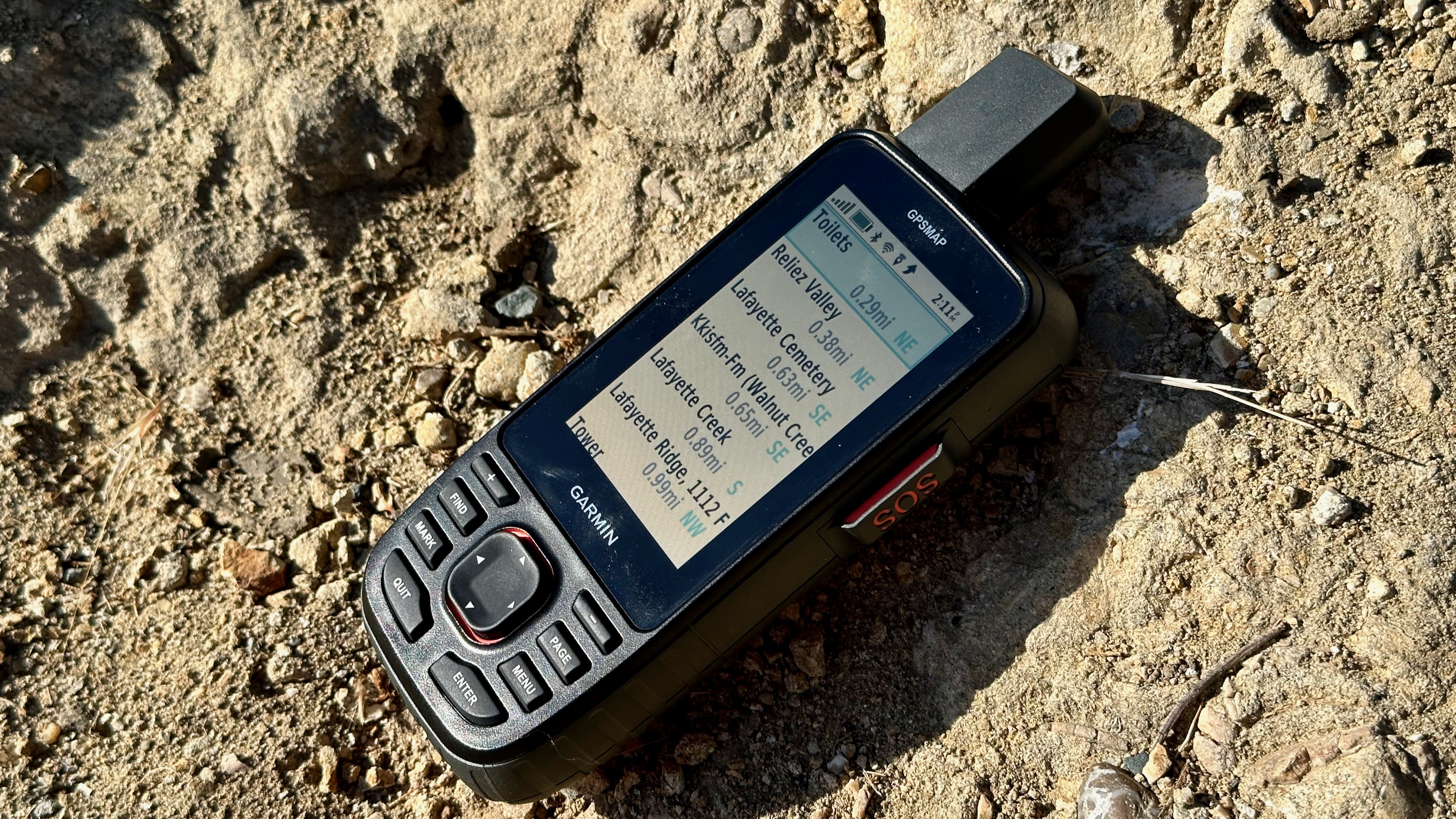
Note that I'm truly scratching the surface of what this GPS handheld does. I like the Sight 'N Go function for when you spot a landmark and want to lock your compass in that direction, the Active Weather function for seeing real-time weather patterns transposed over the map in front of you, and the option to download specific satellite map layers in whatever region you intend to hike in next, so long as you're connected to a 2.4GHz Wi-Fi network.
So long as you're prepared to study that manual closely, as I mentioned before, and have the patience to make mistakes with the wonky controls and to master different apps (especially Explore for creating Routes before your actual hikes), then this could be the GPS handheld for you.
A rugged hiking companion
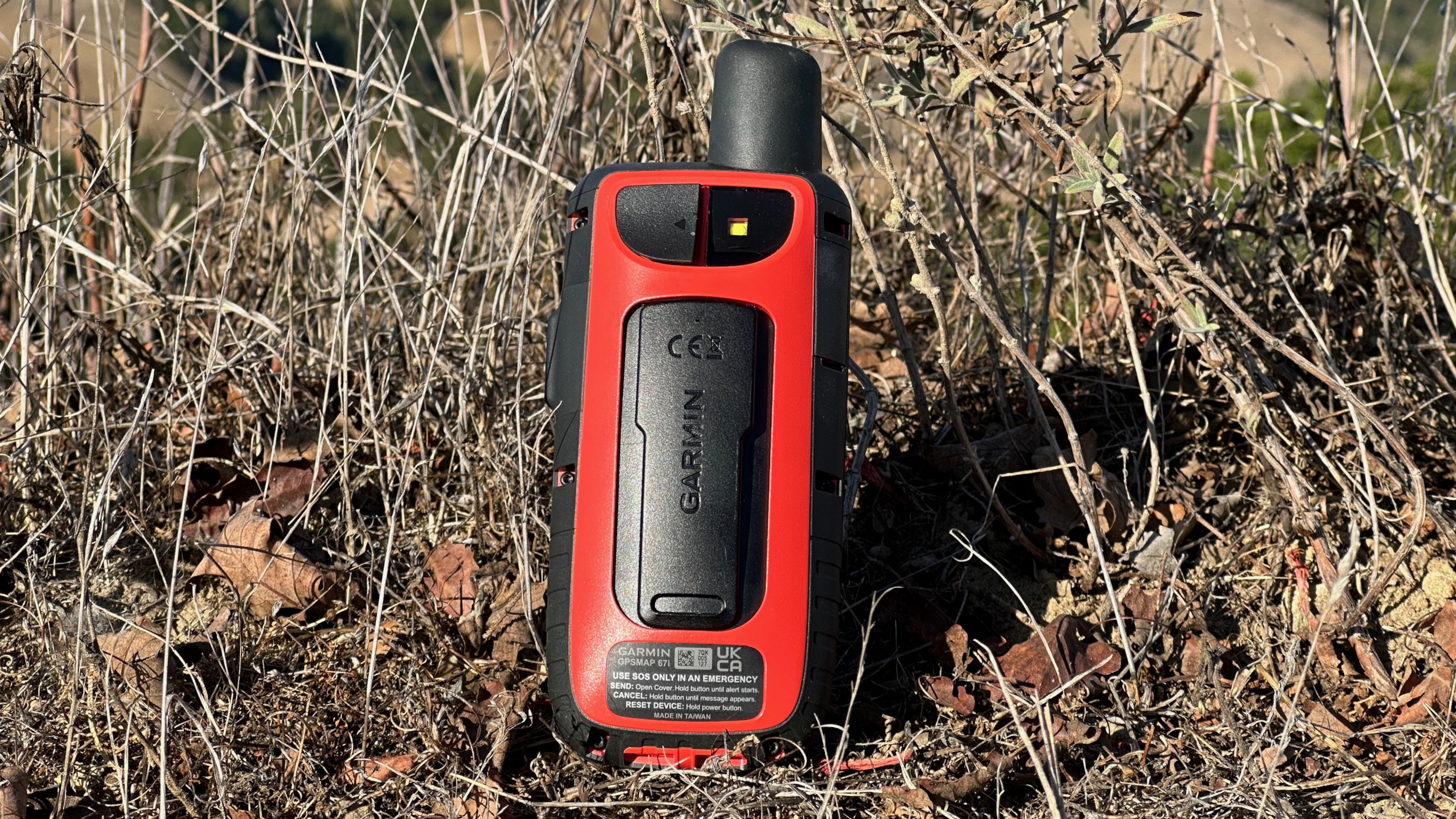
The GPSMAP 67i is a comfortable half-pound, compact enough that the grip feels natural and secure without my (pre-carpal tunnel) wrist feeling the pain afterward. It's certainly not as convenient as an Android smartwatch you strap on and forget about, but it comes with a carabiner clip in the box, or you can buy an official $10 belt clip or $21 backpack tether to secure it.
You also have confidence that if you accidentally drop it on the trail, its military-grade, water-resistant design will protect it. My only worry is the display, which is "chemically strengthened" but could still meet a swift end if it falls on a rock.
The display itself is visible in direct sunlight with the backlight disabled, which is how it manages to last as long as it does. Thankfully, the backlight is more than bright enough to read at night, in case you accidentally spend too long on the trail before you hit camp.
| Category | Garmin GPSMAP 67i |
|---|---|
| Display | 1.5"W x 2.5"H (240 x 400) transflective color TFT |
| Battery life | Up to 180 hours with GPS / 165 with InReach |
| Row 2 - Cell 0 | Up to 840 hours in Exhibition Mode / 425 with InReach |
| Charging | USB-C |
| Storage | 16GB (+ MicroSD card up to 32GB, sold separately) |
| Protection | IPX7; MIL-STD-810 for water, shock, and thermal; "Chemically strengthened glass" |
| Tracking | GPS, GLONASS, QZSS, Beidou, IRNSS, multi-band GPS support |
| Sensors | Barometric altimeter, 3-axis compass |
| Dimensions | 2.5” x 6.4” x 1.4” (6.2 x 16.3 x 3.5 cm) |
| Weight | 8.1 oz (230 g) |
Unlike some of the past Garmin models that ran on AA batteries, this uses a built-in battery that recharges via a USB-C port with a protective cover, ensuring that water shouldn't get inside in most cases. You may want to carry a power bank with you in a worst-case scenario, but the GPSMAP 67i can last for over a month on the lowest settings, or nearly a week with active GPS and InReach tracking and broadcasting. The whole point is that you shouldn't have to worry.
Another protective sleeve covers the microSD card slot, which supports cards up to 32GB. Although the GPSMAP 67i has 16GB of internal storage, a lot of it is taken up by the default topographical data. When I tried downloading an Outdoor Plus map of my local park, I quickly realized the handheld didn't have enough space for the level of detail it provided.
So, while buying a microSD card is technically optional, it's not if you intend to buy any of the extra Garmin map packs, which can range from 1GB to 10GB and higher. I've heard that some GPSMAP buyers even buy multiple so they can swap maps based on whichever region they're currently in.
Hidden costs
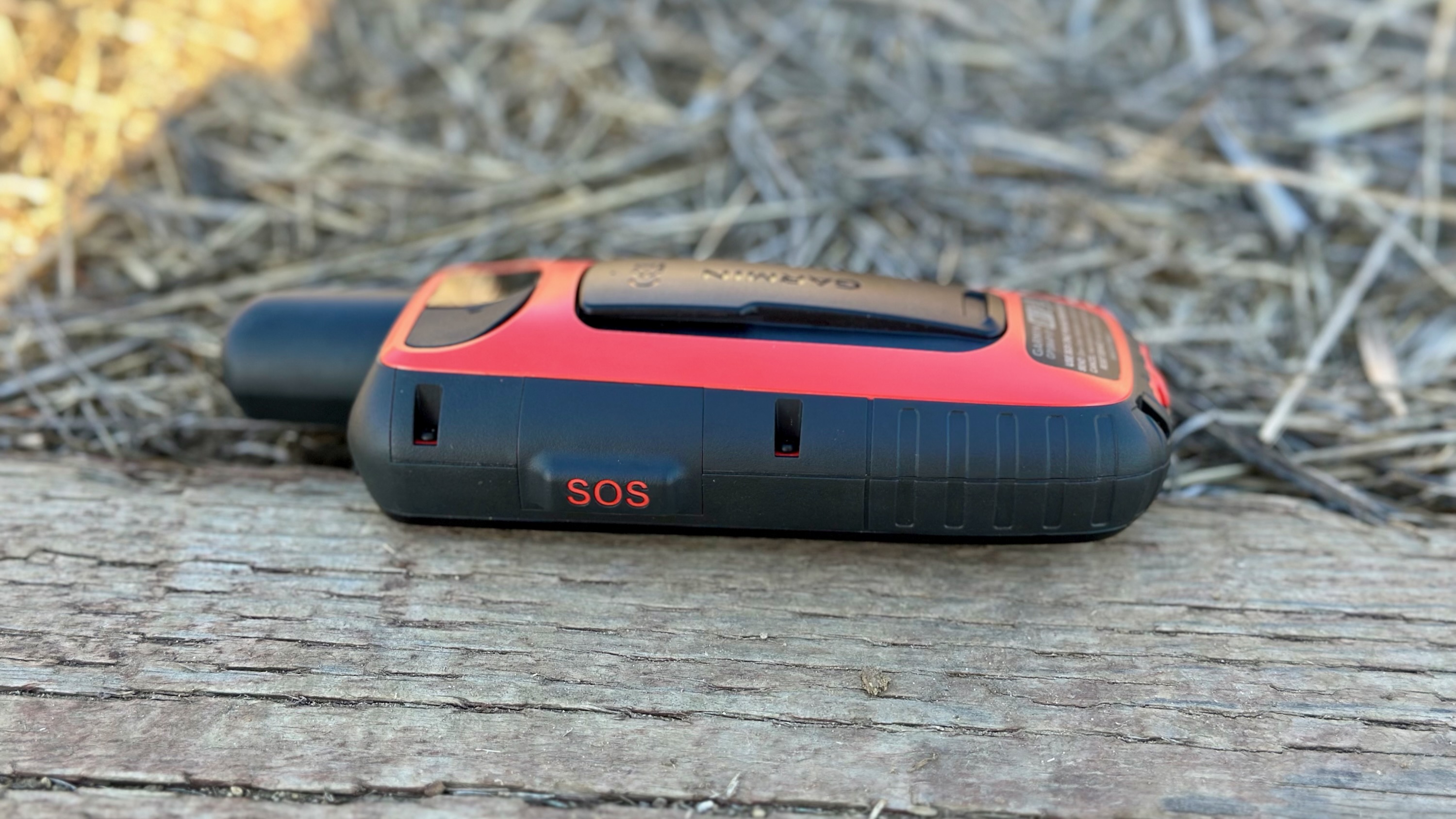
The $599 Garmin GPSMAP 67i costs less than what you'd pay for a Garmin Fenix, or on par with a Garmin Forerunner 965. But unlike those watches, which require one massive payment, the GPSMAP will demand more money down the line.
First, there's the satellite subscription. I won't go into different pricing by country, but in the U.S., it can range anywhere from $14.95/month for a basic consumer plan to $65/month for a Pro Unlimited plan. With the most basic plans, you'll also pay $0.10 per location update or $1 per weather download, and you can't get more frequent location broadcasting than 10 minutes apart.
SOS calls aren't restricted, of course. But for unlimited satellite data, you'll have to pay a lot more upfront. In theory, you can simply pay one month at a time during big trips, then cancel until the next one.
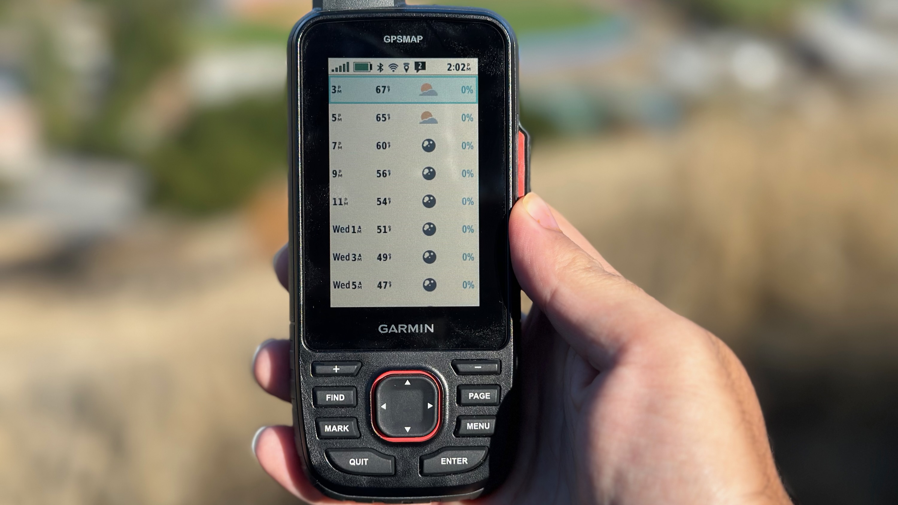
You can always buy the $499 Garmin GPSMAP 67 if you're not interested in satellite coverage, but it's something that if you fail to pay for and then end up needing, you'll certainly regret it. My suspicion is that most people will pay for the cheapest Safety package and just limit their messages, if nothing else.
You can also subscribe to Garmin's $50 Outdoor Maps Plus service to get more detailed maps with elevation and terrain shading, land boundaries, light pollution data for stargazing, raster maps, and other details you might not normally get on a Topo map. Or, Garmin sells in-depth maps of specific regions that can cost hundreds of dollars apiece, which could be useful if you mostly spend your outdoorsman days in specific regions where you want in-depth trail data.
Should you buy the Garmin GPSMAP 67i?
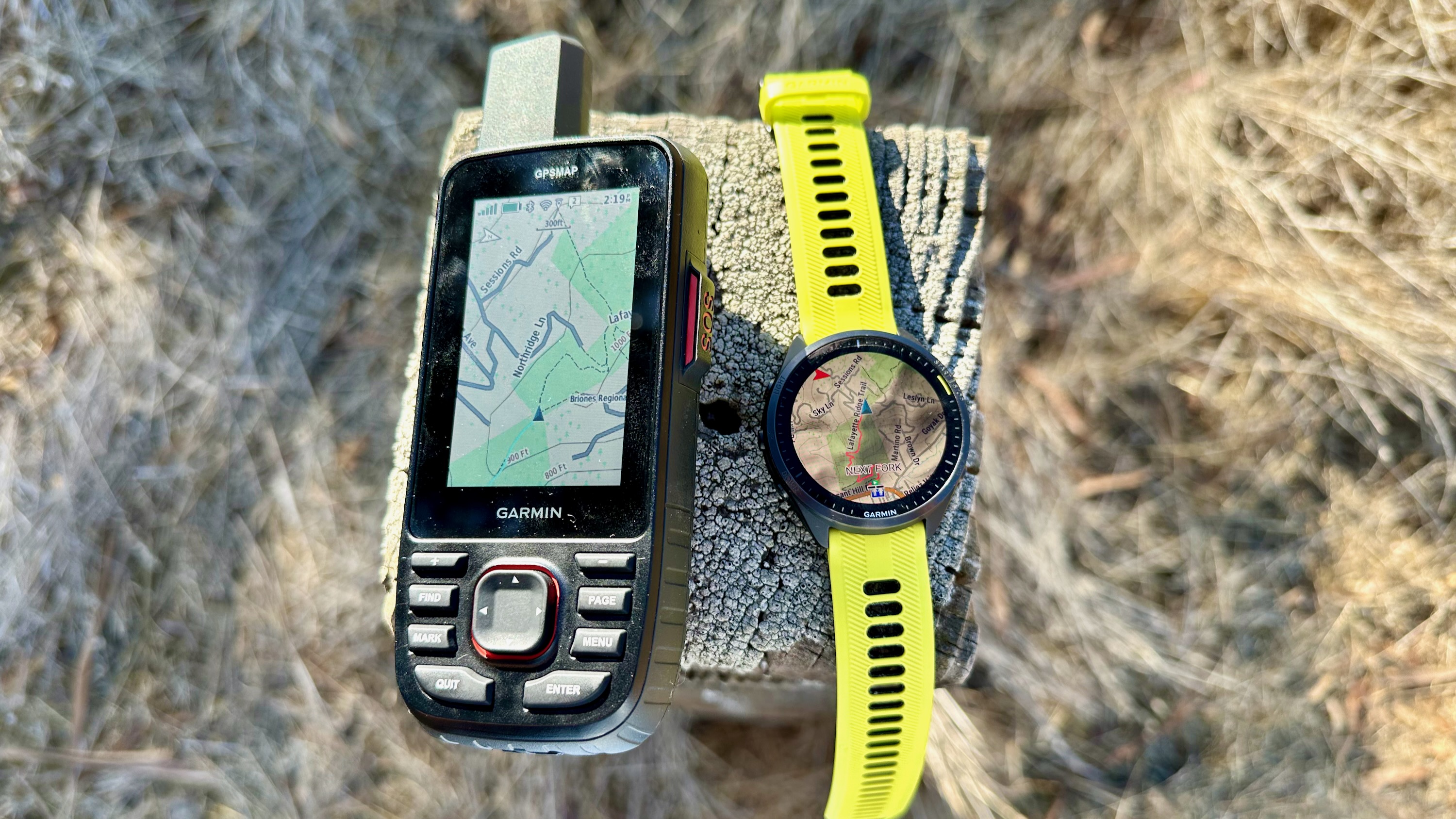
As someone who's tested and enjoyed using most of the best Garmin watches, I realize that one thing I appreciate about them is their simplicity. You rarely have to go into settings and submenus because the main widgets and button shortcuts cover almost everything. So, switching to an enthusiast device like the Garmin GPSMAP 67i that doesn't hand-hold you was a real culture shock.
This device is a fantastic tool in your back pocket for when you go on multi-day hikes. Something as simple as being able to see your mapped path and follow it back to your point of origin without ever getting lost is incredibly useful, as is the option to let family know your real-time location and message them with updates without worrying about cell coverage.
If you're solely interested in the Garmin InReach satellite tools for safety, you can buy something like the Garmin InReach Messenger, which costs half as much, has the same SOS button, and connects to your phone for the same Garmin Messenger app functionality like checking in with family and MapShare. But it's more dependent upon a smartphone, which is certainly more likely to die on you in the wilderness than a GPSMAP 67i.
Overall, I'd say that most casual hikers who drive to campgrounds and stay on well-paved trails will rarely need something as robust as the GPSMAP 67i. If you are tempted, keep in mind that you'll need to give it plenty of time to understand how it works, do a lot of pre-trip prep and make sure all of your maps and waypoints are downloaded ahead of time, and research all of the map bundles and subscriptions that you'll need before you buy it.
This is the GPS handheld you buy if you don't want to leave anything to chance. It'll keep you connected to the world and your family in the most isolated environments, with a design that won't quit even in rough conditions. But as I said, keep the manual on hand.

Michael is Android Central's resident expert on wearables and fitness. Before joining Android Central, he freelanced for years at Techradar, Wareable, Windows Central, and Digital Trends. Channeling his love of running, he established himself as an expert on fitness watches, testing and reviewing models from Garmin, Fitbit, Samsung, Apple, COROS, Polar, Amazfit, Suunto, and more.
-
camirisk This is a bread and butter GPS from 6x series, the layout is almost the same, the screen has been improved and this version comes with sat communications, you can find free tipo maps with great quality and program your routes, sat images are more a nice feature that something you will need ASAP. I have to say that this is a mature product that does its job with an added bonus of sat communications and SOS services, although expensive it will easily beat the accuracy and usability of a GPS enabled watch + cellphoneReply
