How to use indoor maps in Google Maps

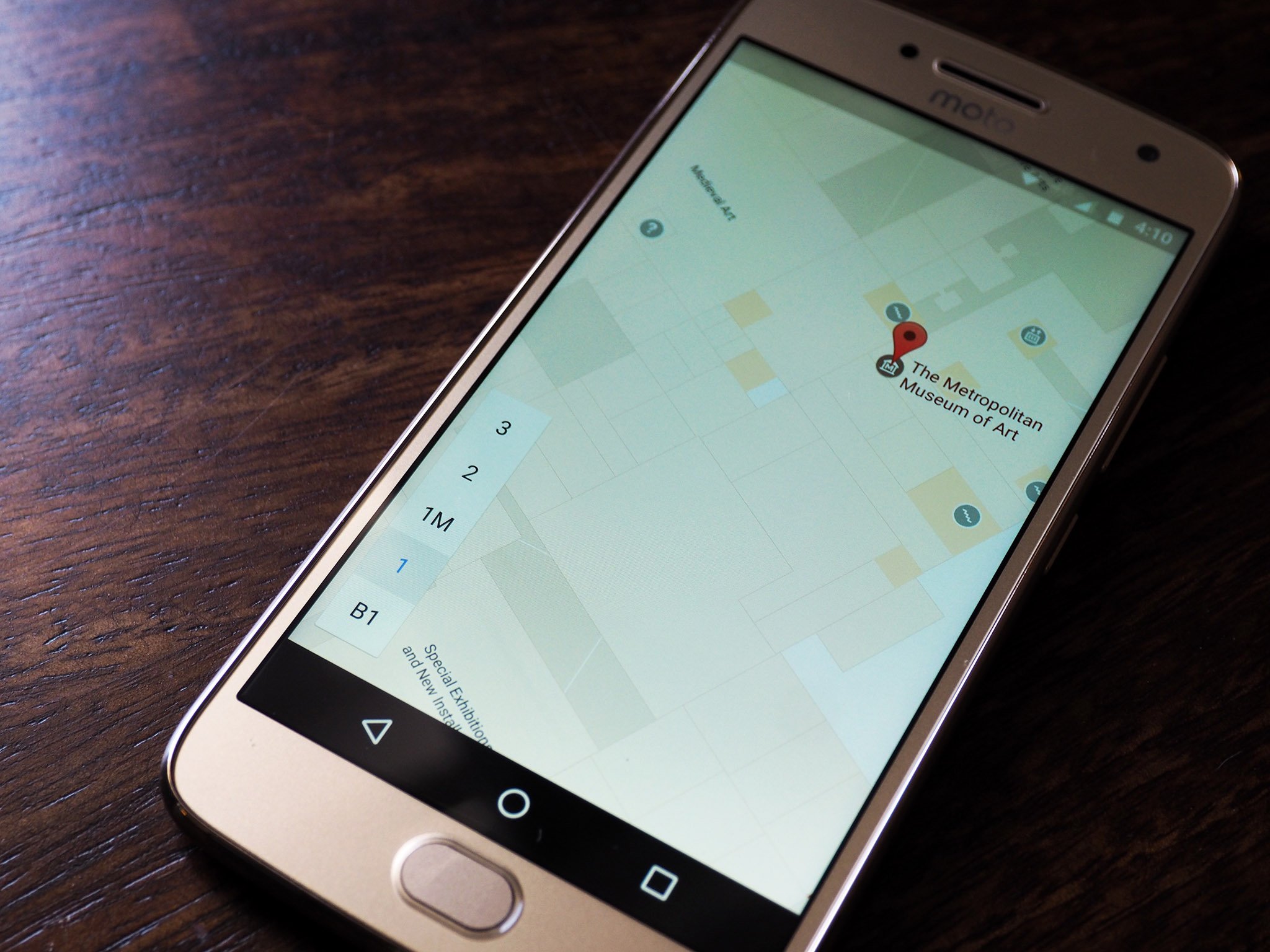
One of the more useful additions to Google Maps is the ability to navigate within malls, museums, libraries, or sports venues. The feature is accessible in 25 countries, and Google maintains a list of prominent locations for which indoor navigation is available.
If you're looking to find the shortest route to a particular store within a mall or navigating a gargantuan museum and are in need of a layout guide, the indoor maps feature comes in handy.
How to use indoor maps in Google Maps
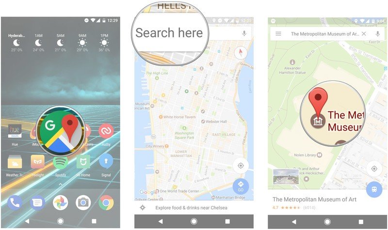
- Open Google Maps from your app drawer or home screen.
- Enter the name of the location via the Search here textbox. You should see a pin on your selected location.

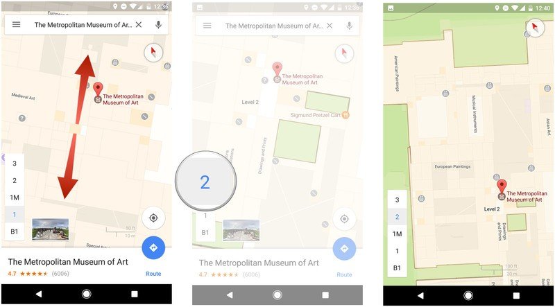
- Pinch out to zoom in on the map a few times until you see the floor layout.
- You can navigate the internal layout by selecting the floor markers on the bottom left of the screen.
- Zoom in or out to view specific sections of the indoor map.

Do you use indoor navigation often? Let us know what you think of the feature in the comments.
Be an expert in 5 minutes
Get the latest news from Android Central, your trusted companion in the world of Android

Harish Jonnalagadda is Android Central's Senior Editor overseeing mobile coverage. In his current role, he leads the site's coverage of Chinese phone brands, networking products, and AV gear. He has been testing phones for over a decade, and has extensive experience in mobile hardware and the global semiconductor industry. Contact him on Twitter at @chunkynerd.
