Google Maps updated in the UK with new public transit data

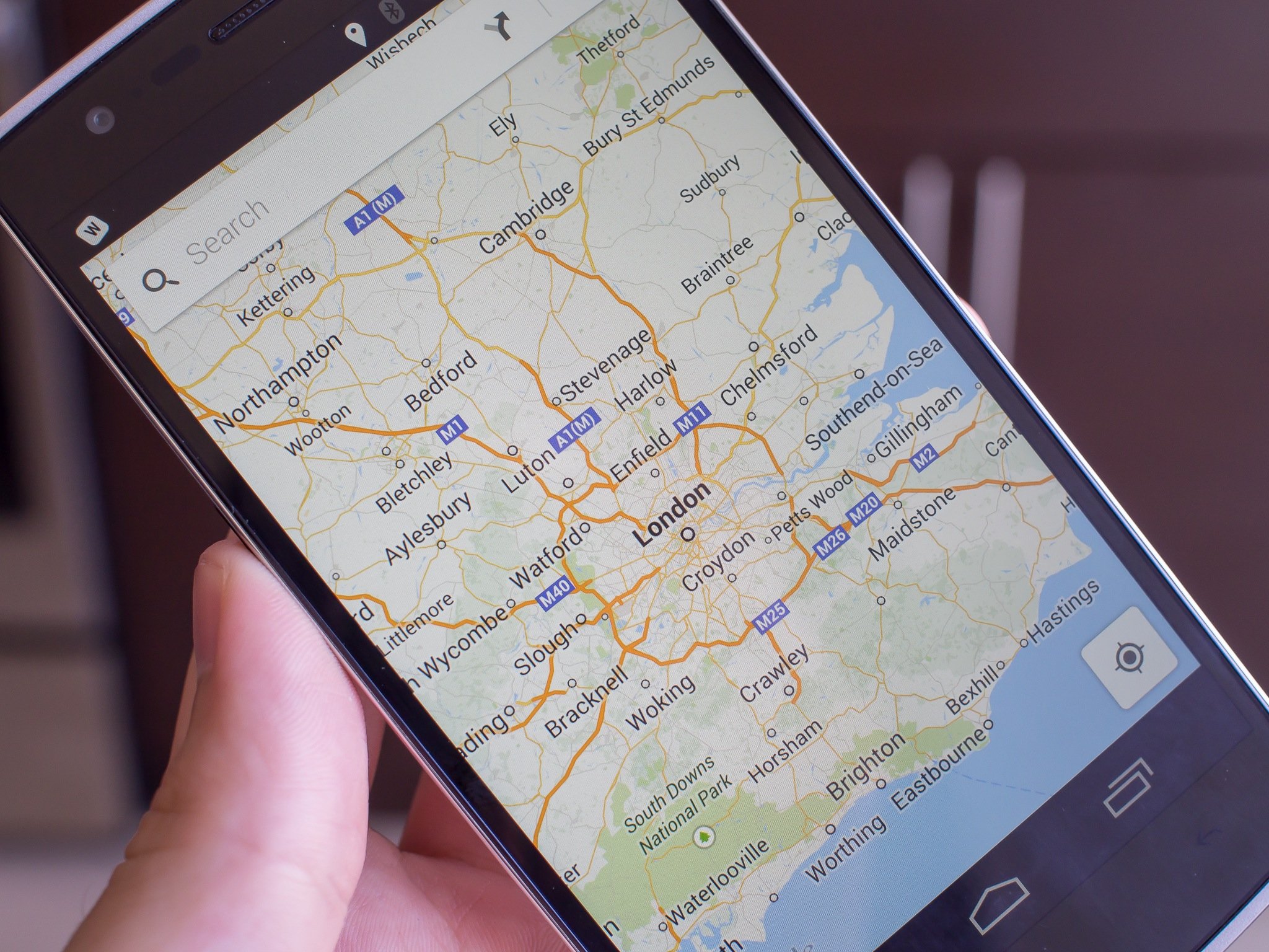
Google has updated its Google Maps app in Great Britain adding in directions for travel using public transportation. The app update is available now for iOS and Android, as well as on the web on the desktop, will cover almost 17,000 routes of bus, train, tram, and ferry navigation.
The update will work on travel across England, Wales, and Scotland, with Northern Ireland still in the works. The update includes travel information from Traveline and National Express.
Users can now plan their routes to determine what the fastest or shortest routes will be, how many stops or interchanges they want to make, and what time the next departures leave.
"You'll now know when the next trip is departing, how many stops and how far your walk is between each station," product manager David Tattersall told Pocket-lint in an interview. "You can also pick your preferred method of travel and whether you'd rather walk less or make fewer transfers, so you can compare and choose the best option for you."
Via: Pocket-lint
Be an expert in 5 minutes
Get the latest news from Android Central, your trusted companion in the world of Android

