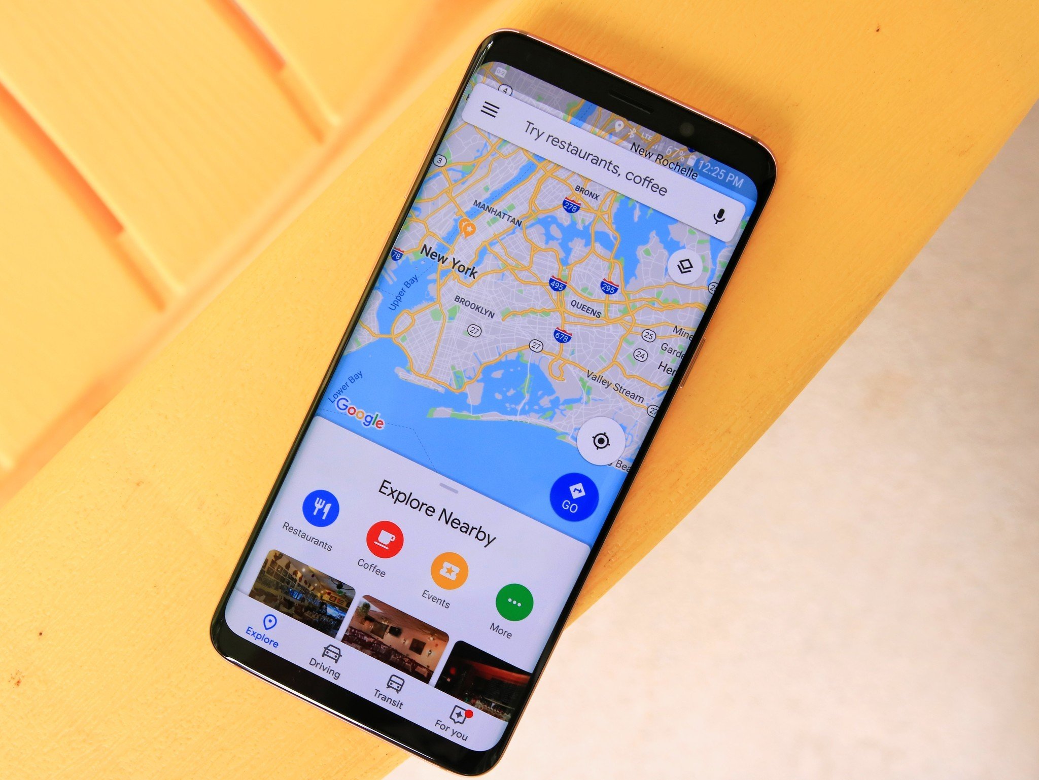
Google Maps finally gets a Street View layer on Android

What you need to know
- The Google Maps Android app now offers a "Street View" layer.
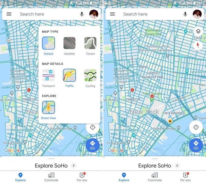
- To enter Street View mode, you will need to tap on the map layers FAB on the top-right corner.
- Once you apply the Street View layer, areas where Street View is available will be highlighted in a darker shade.
Google rolled out AR directions for both Android and iOS platforms last month, along with an upgraded Timeline as well as a new "Reservations" tab that lets users view a list of their upcoming trips. The Mountain View-based company has now added another nifty feature to Google Maps on Android.
The latest stable release of the Google Maps app for Android adds a new Street View layer, making it easier for users to find areas where Street View is available. To access the Street View mode in Google Maps, simply tap the map layers FAB (floating action button) on the top-right corner of the screen. If you have the latest v10.23.4 of Google Maps installed on your phone, you will find the Street View layer option under the new "Explore" section.

Once the Street View layer is selected, you will be shown areas where Street View imagery is available in a darker shade. When you zoom in, you will see individual streets marked in blue. Areas that do not have any Street View imagery will simply show the color of the map type (Default, Satellite, Terrain).
Until now, the dedicated Street View layer was only available on Google Maps on the web. As noted by the folks over at 9To5Google, it is yet to roll out on Google Maps for iOS.
Google Maps gets some new buttons in Android Auto
Be an expert in 5 minutes
Get the latest news from Android Central, your trusted companion in the world of Android

