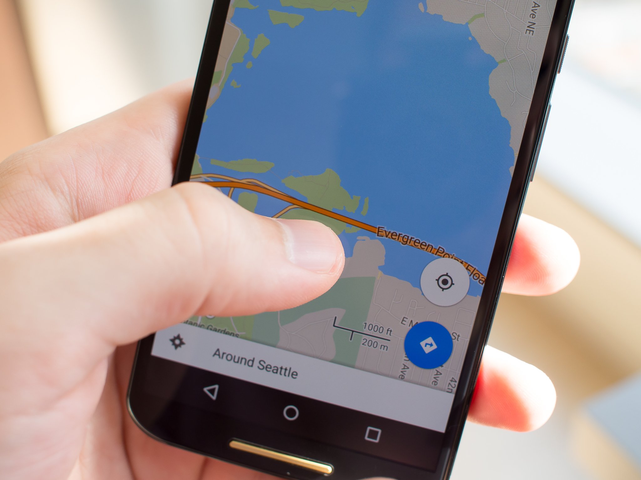
Google to bring railroad crossing information to Google Maps

Google Maps will soon include all of the public railroad crossings on its maps, as the company has partnered with the Federal Railroad Administration to increase driver safety. There are around 130,000 public and 85,000 private crossings in the country currently, and there are more than 2,000 accidents at these intersections each year.
With more and more people relying on navigation to get them around, the additional information will make drivers even safer. Sarah Feinberg, the Federal Railroad Administration's acting administrator said:
"The vast majority of these accidents and deaths are preventable. In some cases, maybe a driver intends to beat the train, thinks they are familiar with the route or still have time to cross. But there are many cases where drivers lack situational awareness, because it may be dark or the route is unfamiliar."
Currently there is no indication of when the data will begin appearing in Google Maps, but it is great to see the two companies partner to keep people on the road even safer.
Source: NYTimes
Get the latest news from Android Central, your trusted companion in the world of Android

