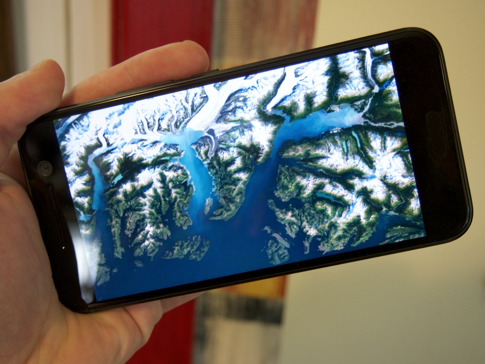
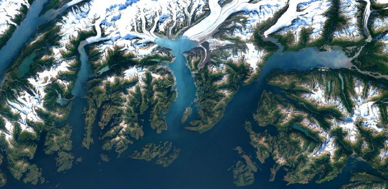
More-detailed satellite images headed to Google Maps and Earth

Google will begin using the Landsat 8 satellite and new processing techniques to get even better shots of the earth than before. With Landsat 8, Google will be able to capture around two times as many images as it could with Landsat 7. Back in 2003, Landsat 7 experienced a hardware failure which resulted in a loss of image quality and diagonal gaps of missing data.

From Google's announcement post:
Today we're rolling out an even more beautiful and seamless version, with fresh imagery from Landsat 8 satellite and new processing techniques for sharper images than ever before. Satellite images are often cloudy, but not always over the same place, so we looked at millions of images and took the clearest pixels to stitch together this cloud-free and seamless image.
The images that are being captured are quite awesome, and you should check the rest out at over on Google's post.
Get the latest news from Android Central, your trusted companion in the world of Android

