The Pixel 9 offers satellite SOS services. Here's how it all works
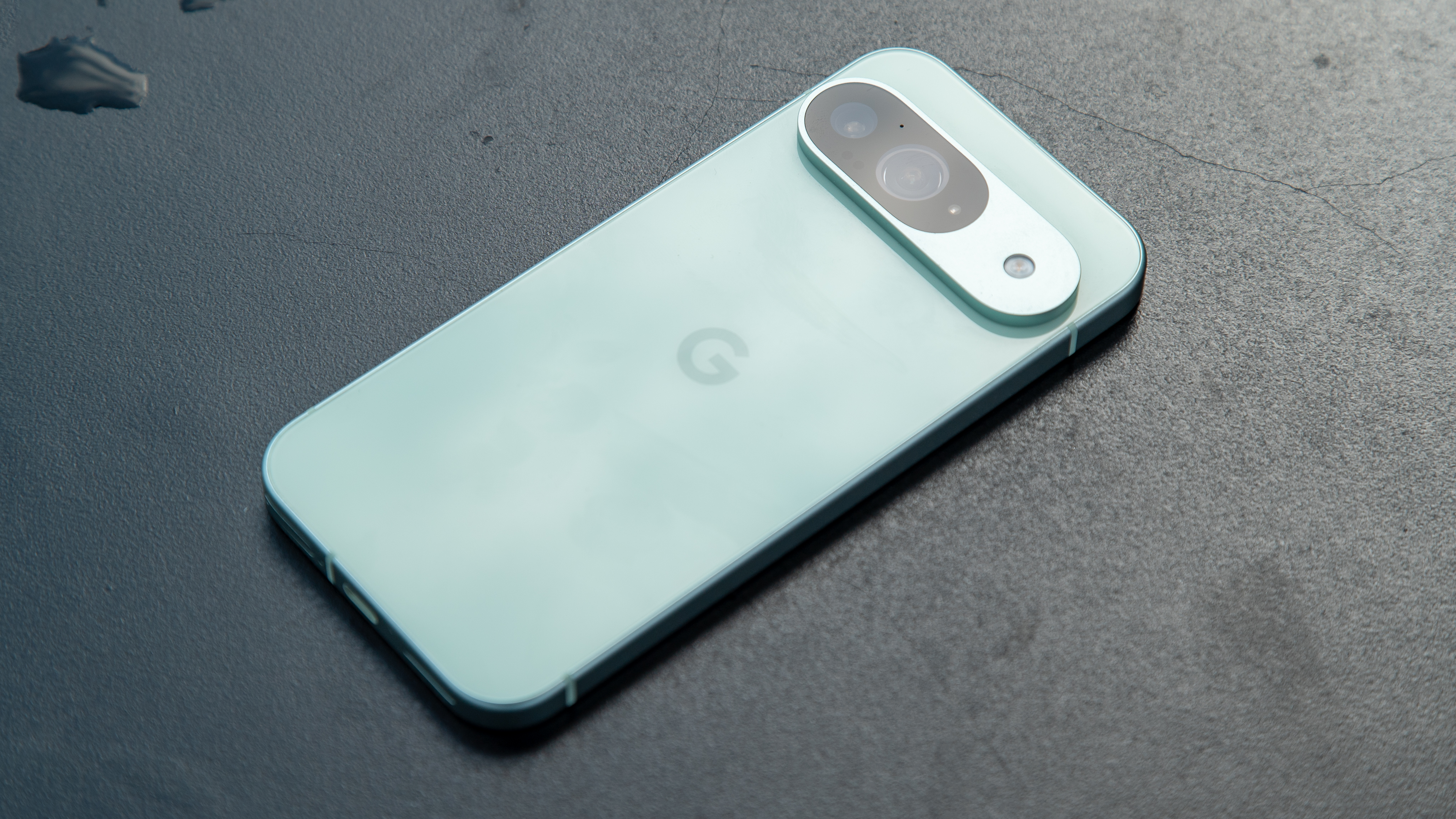
Your new Pixel 9 has a built-in Satellite SOS feature, a lot like the one Apple includes in the iPhone. It's also a feature that looks to be headed for a lot of other Android phones, based on the companies involved and the hardware supported.
That's cool and while nobody ever wants to need it, having it is good. It could mean the difference between something terrible like freezing atop a mountain or being safe at home. I know which one I'd pick.
It uses tech from a company called Skylo and Garmin, but how exactly does it work? This is something you might want to know about before you need it.
How it works
You don't need anything extra, and the only requirement is to be able to see the sky. All the software you need is built into your Pixel 9.
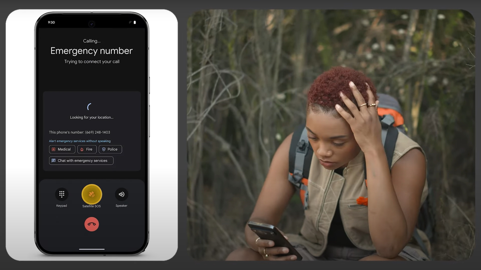
What you do is call 911 (or the appropriate emergency services number in your area) and hope that someone answers. If they don't because you don't have cell coverage, you'll see an option to use Satellite SOS right in the dialer.
Tap on it and follow the guide to describe your situation (if you can), then point the phone towards the sky as instructed. You should get a message back in a few minutes letting you know someone heard you.
You'll be able to demo Satellite SOS in the Safety & emergency section of your phone setting.
Get the latest news from Android Central, your trusted companion in the world of Android
The cool part is how all of this happens. You don't need to know any of this to use the service, but it's fun to understand how things really work. I reached out to Skylo and got some answers, and combined with their existing documentation, it's easy to piece them together.
Skylo is a tech company that works with satellite companies to send, receive, and route messages to and from land-based devices like your phone. It isn't launching spacecraft, but it knows how to talk with them.
The emergency message on your phone is directly sent using a high-density, high-energy 3.75kHz signal to a satellite about 23,000 miles away. The outgoing messages don't require any sort of base station and that's why the service has such a large footprint.
Once that signal is received by the satellite, it's sent back to a Skylo Earth station. Skylo interprets and routes the information and any assorted extra data like location to Garmin (the same Garmin that makes things like smartwatches).
Garmin has a 24/7 response team that handles this sort of thing. Garmin isn't new at this, and the company offers similar products of its own to help locate and rescue people who need them.
Garmin Response then finds out exactly where you are based on coordinates sent through the Skylo service, and contacts the right local response team to make sure you get the help you need.
This is all really cool to me, but the coolest part is that this is only the beginning. Skylo currently supports 10 certified satellite modules and eight certified mobile chipsets from companies like Qualcomm, Samsung, MediaTek, and Sony. There are plans to certify even more already in place.
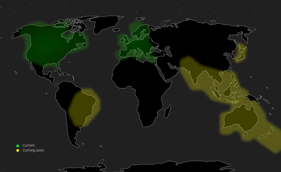
The company's tech itself is present in nine Earth-based stations connected to five satellite operators. There are 50 million square kilometers across North America and Europe already covered and rollout is underway in Asia, Australia, and South America.
It won't be long until you'll be able to find the help you need from just about any place on Earth, using one of many different phones. Tech like this shouldn't be locked behind one product and Skylo is working to make sure it isn't.

The new AI Pro
The Pixel 9 is Google's latest and greatest AI phone, powered by the Tensor G4 for all your AI needs. It comes with new capabilities from apps/features Gemini Live, Pixel Studio, and Call Notes, with on-device processing for many features that keeps your data away from Google.

Jerry is an amateur woodworker and struggling shade tree mechanic. There's nothing he can't take apart, but many things he can't reassemble. You'll find him writing and speaking his loud opinion on Android Central and occasionally on Threads.
You must confirm your public display name before commenting
Please logout and then login again, you will then be prompted to enter your display name.
